After 45 years of national reunification and three decades of the Doi Moi (renewal) process, under the leadership of the Party, southern provinces and cities’ economy have thrived dramatically.
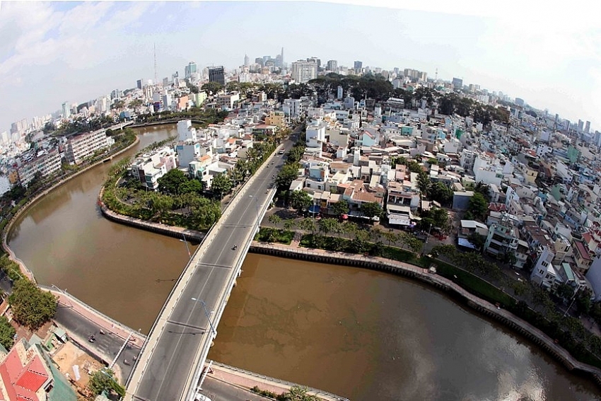 |
| After 30 years of Doi Moi (renewal) process, Nhieu Loc – Thi Nghe canal, from one of the most polluted canals in Ho Chi Minh City, has been revived, benefiting more than 1.2 million people living there (Photo: VNA) |
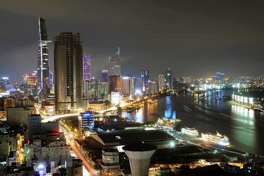 |
| High-rise buildings and modern houses manifest the city’s strong development after over 30 years of Doi Moi (Photo: VNA) |
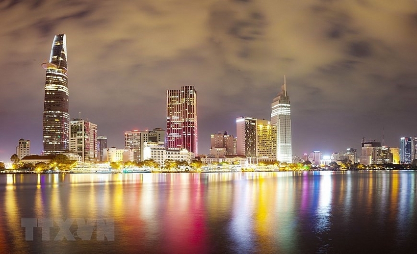 |
| After 45 years of the Liberation of South Vietnam and National Reunification, Ho Chi Minh City has seen rapid and sustainable developments, becoming a driving force of the country’s economy and the southern key economic region (Photo: VNA) |
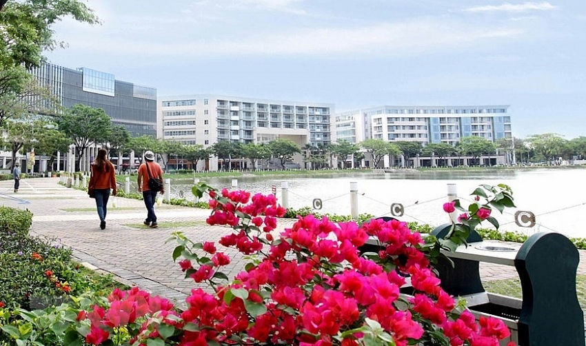 |
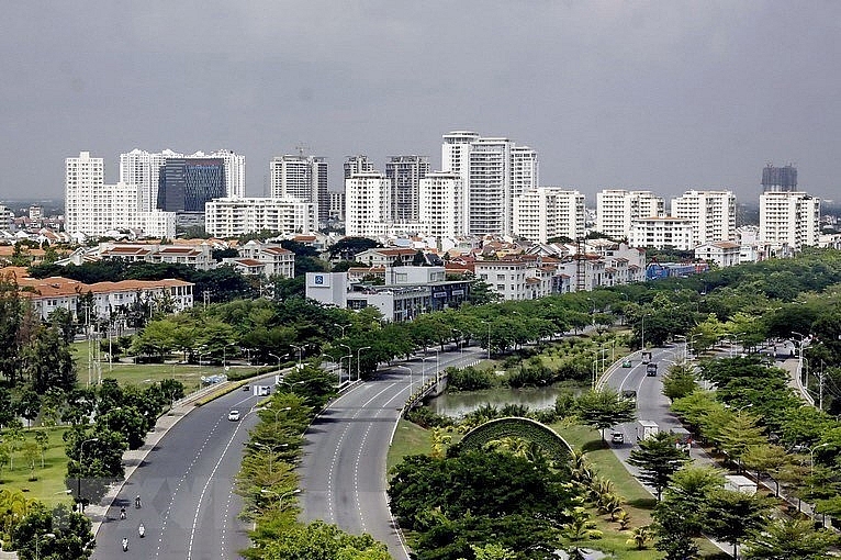
| Phu My Hung- an appealing residential area (Photo: VNA) |
 |
| Phu My Hung- an appealing residential area (Photo: VNA) |
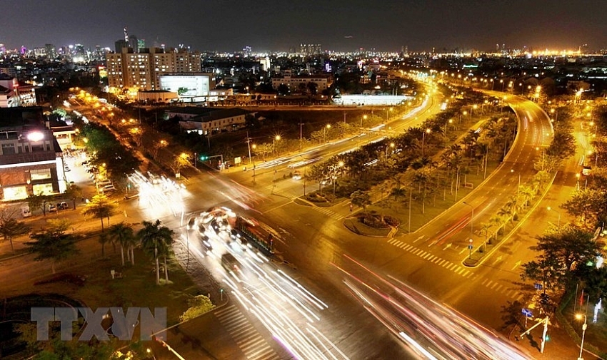 |
| Modern transport system in Phu My Hung residential area (Photo: VNA) |
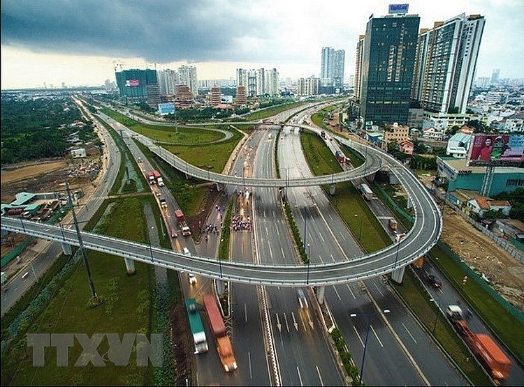 |
| Modern intersection in Cat Lai – Hanoi Highway area, contributing to the development of new urban areas in Ho Chi Minh City’s District 2 (Photo: VNA) |
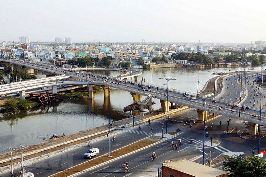 |
| Nguyen Van Cu bridge at East- West Boulevard, Ho Chi Minh City (Photo: VNA) |
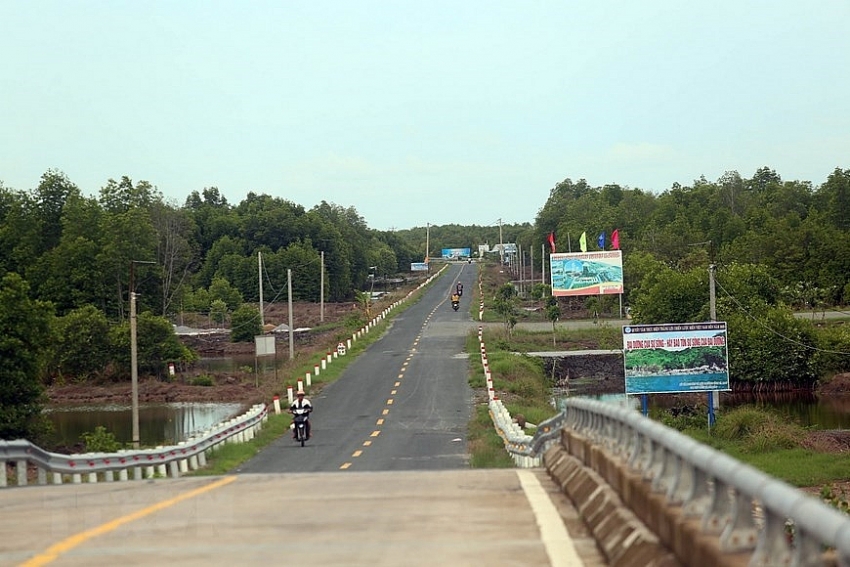 |
| The Ho Chi Minh trail project’s Nam Can – Dat Mui (Ca Mau) section helps connect Ngoc Hien district ( the country’s last point without motorway to the centre), creating a breaking though in socio-economic and tourism development for the southernmost region of the country as well as the Mekong Delta region (Photo: VNA) |
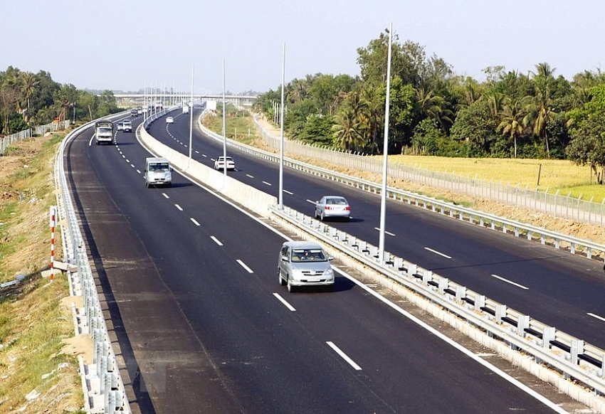 |
| A view of the 40 km Ho Chi Minh City- Trung Luong expressway, which is put into operation in 2010 (Photo: VNA) |
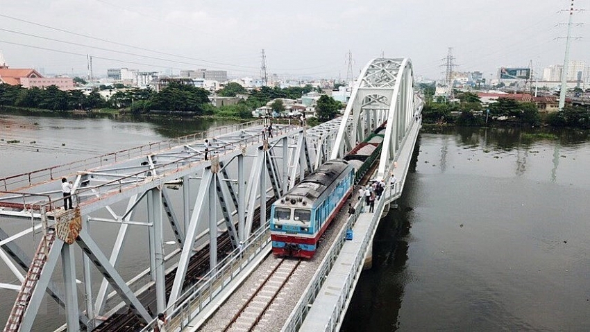 |
| Binh Loi rail bridge crosses Sai Gon River, connecting Binh Thanh district and Thu Duc district, Ho Chi Minh City (Photo: VNA) |
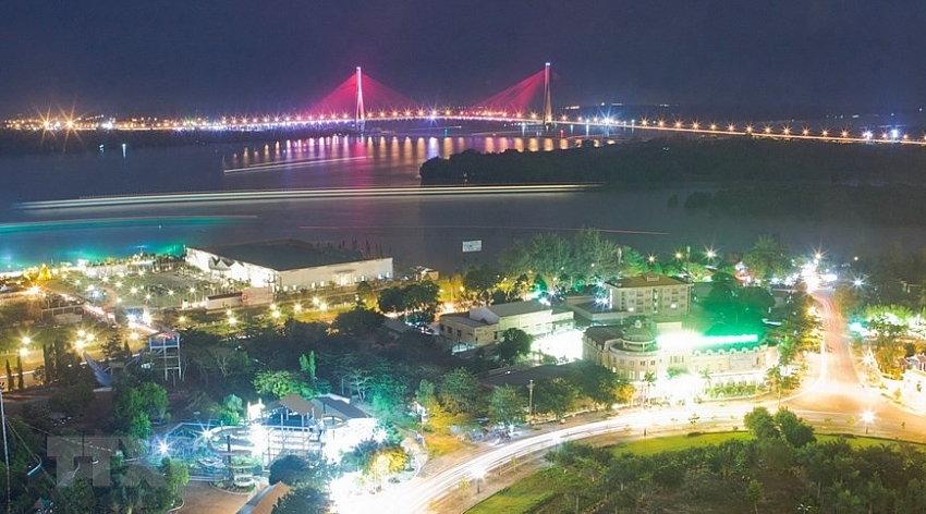 |
| Can Tho Bridge is the first cable-stayed bridge spanning Hau River, connecting Can Tho city and Vinh Long province. It’s also the longest main span (550m) bridge in Southeast Asia (Photo: VNA) |
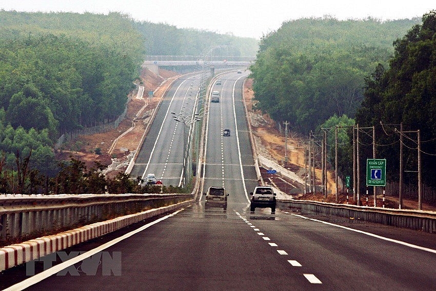 |
| Ho Chi Minh City- Long Thanh – Dau Giay expressway plays an important role in linking key economic region in Southern region, promoting trade between Ho Chi Minh City and neighbouring provinces and cities (Photo: VNA) |
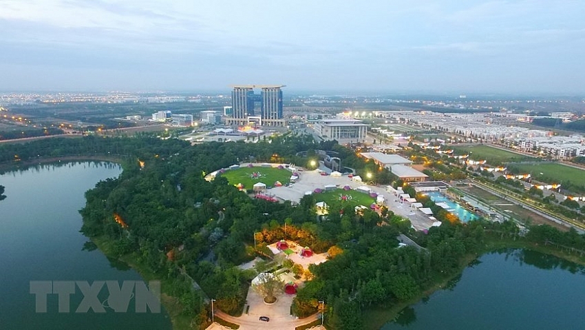 |
| New city of Binh Duong (Photo: VNA) |
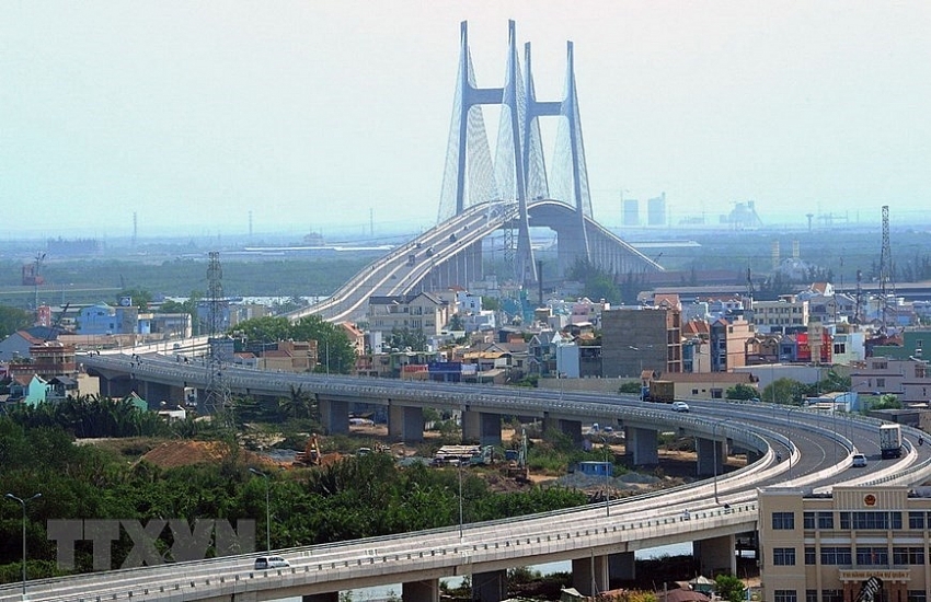 |
| Phu My Bridge spans the Saigon River, connecting Districts 7 and 2 (Photo: VNA) |
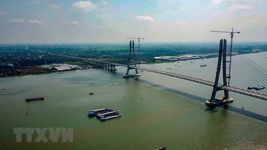 |
| Vam Cong Bridge spans Hau River, linking Lap Vo district (Dong Thap) and Thot Not district (Can Tho city), being put into operation at the end of May, 2019(Photo: VNA) |
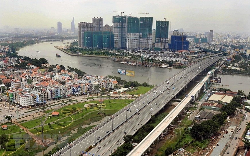 |
| A flyover bridge of Metro Line No.1 urban railway crossing Saigon River and linking District 2 and Binh Thanh District was officially joined in 2016 (Photo: VNA) |
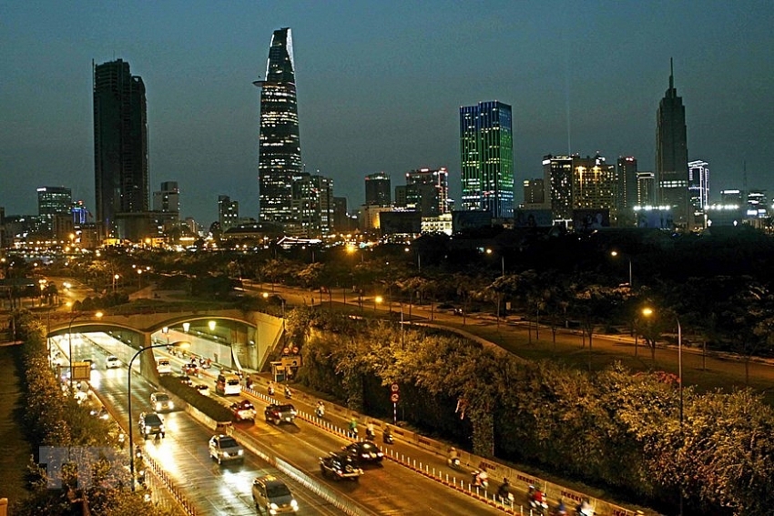 |
| Thu Thiem is the first underground road tunnel in Vietnam, designed to cross the Saigon River in Ho Chi Minh City (Photo: VNA) |
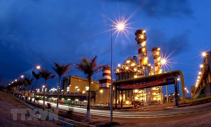 |
| Ca Mau No.1 and No.2 power plants under the Ca Mau Gas- Power- Fertilizer Industrial Complex produce about 25 million KWh per day to the national grid (Photo: VNA) |
VNA


 Tag:
Tag:



 Mobile Version